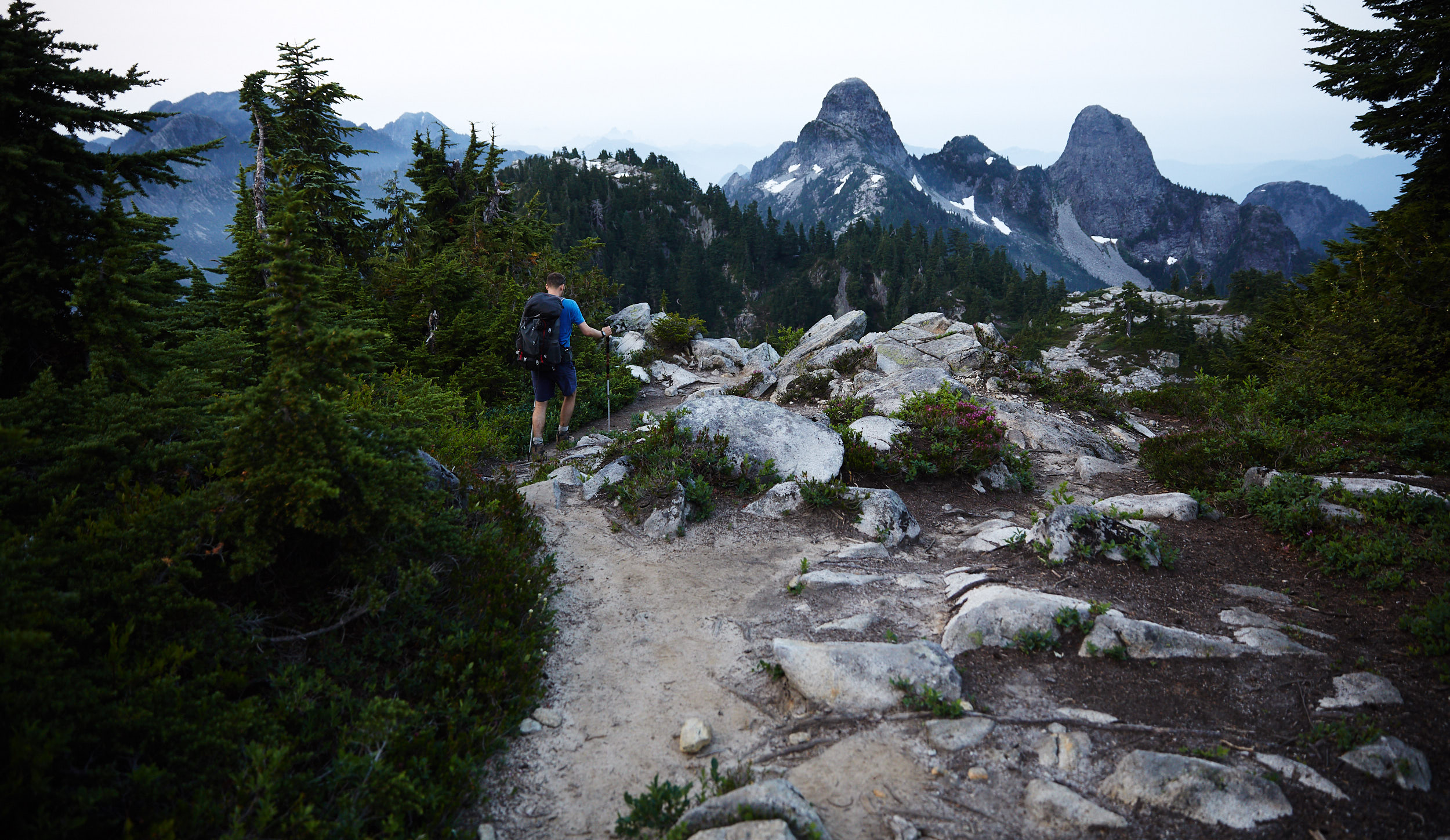
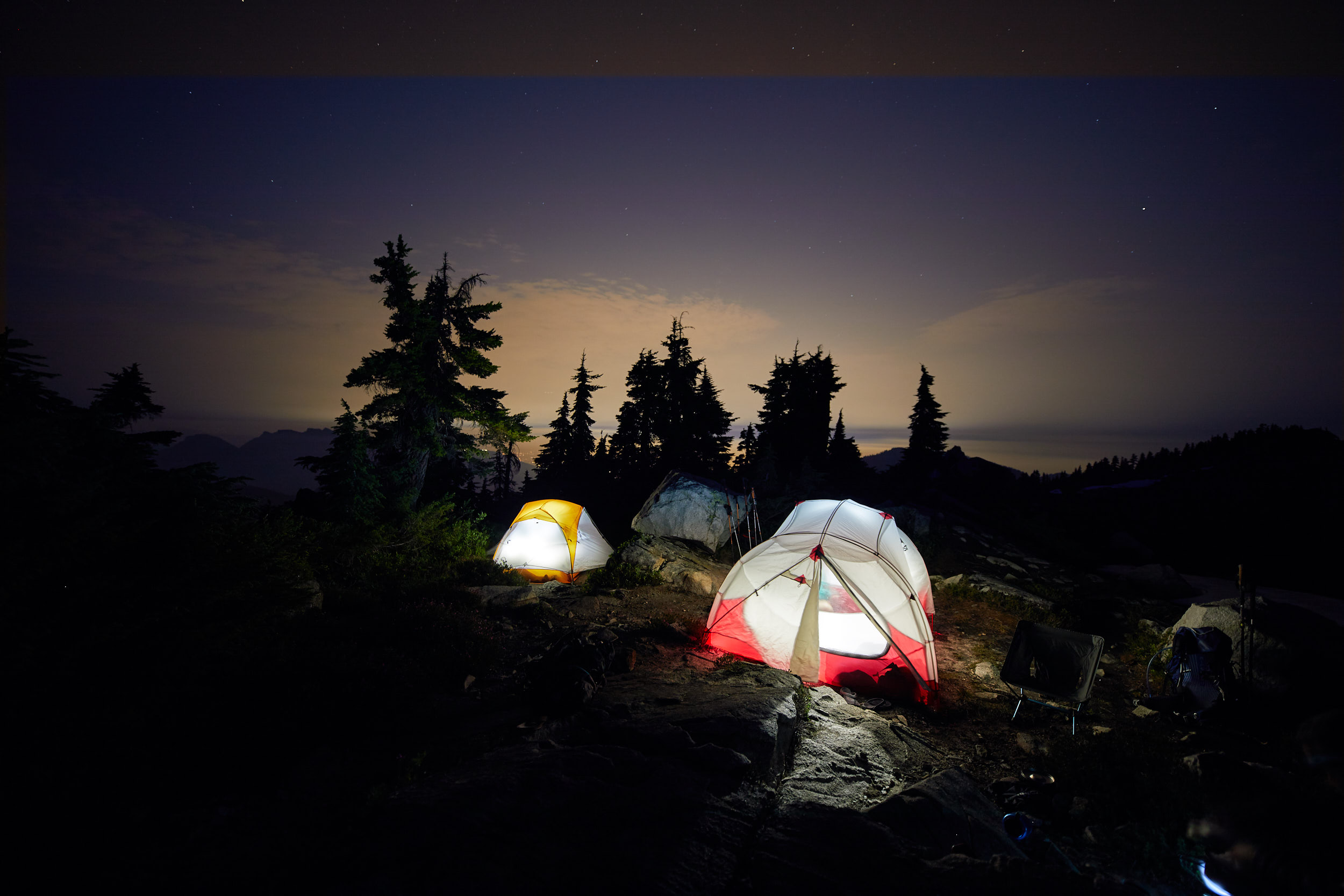
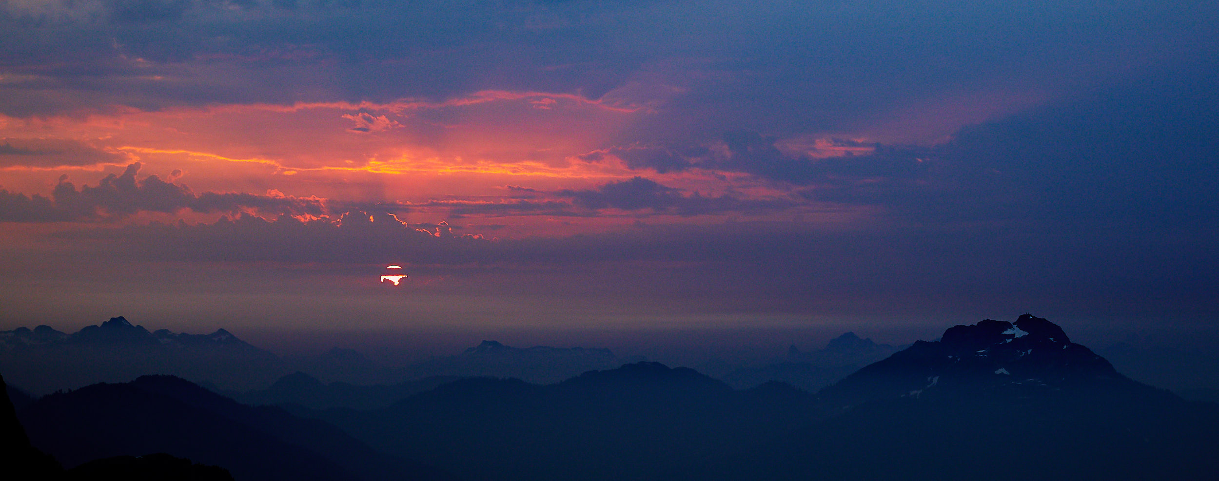
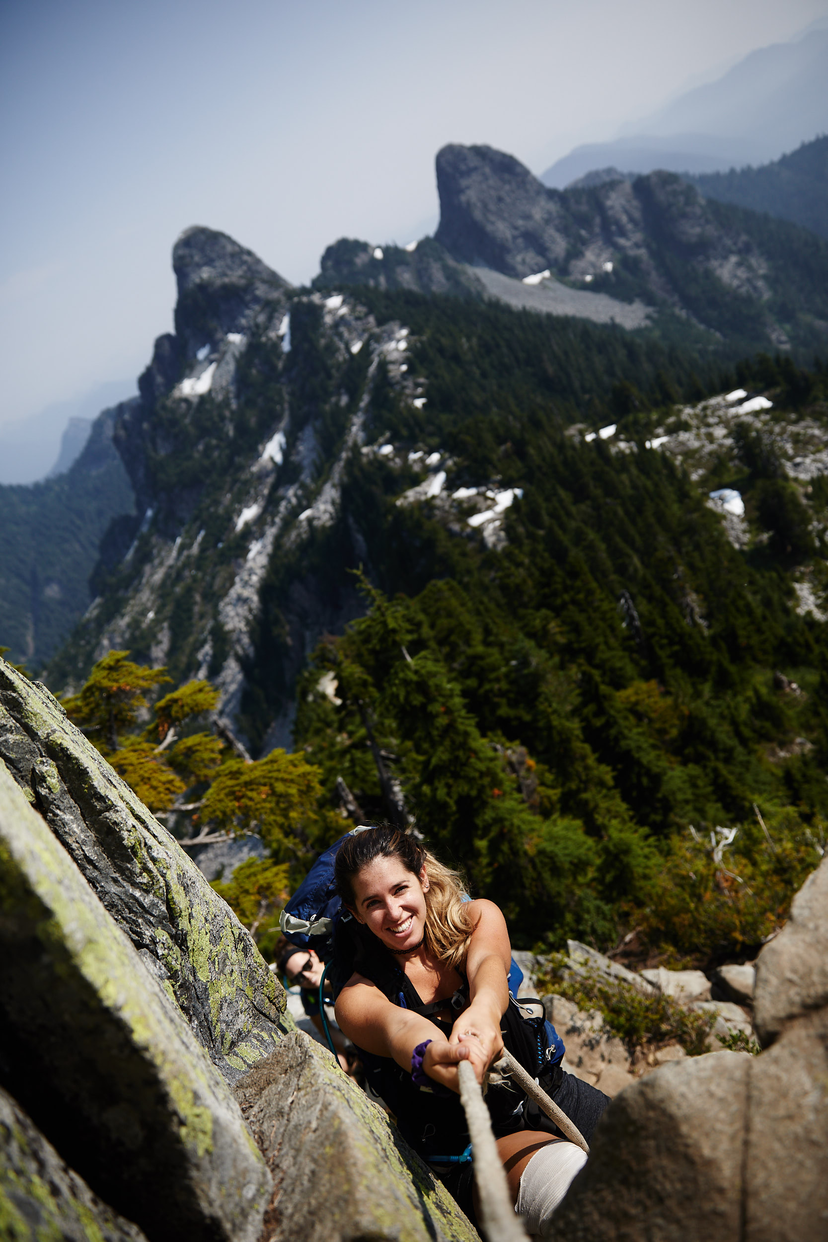
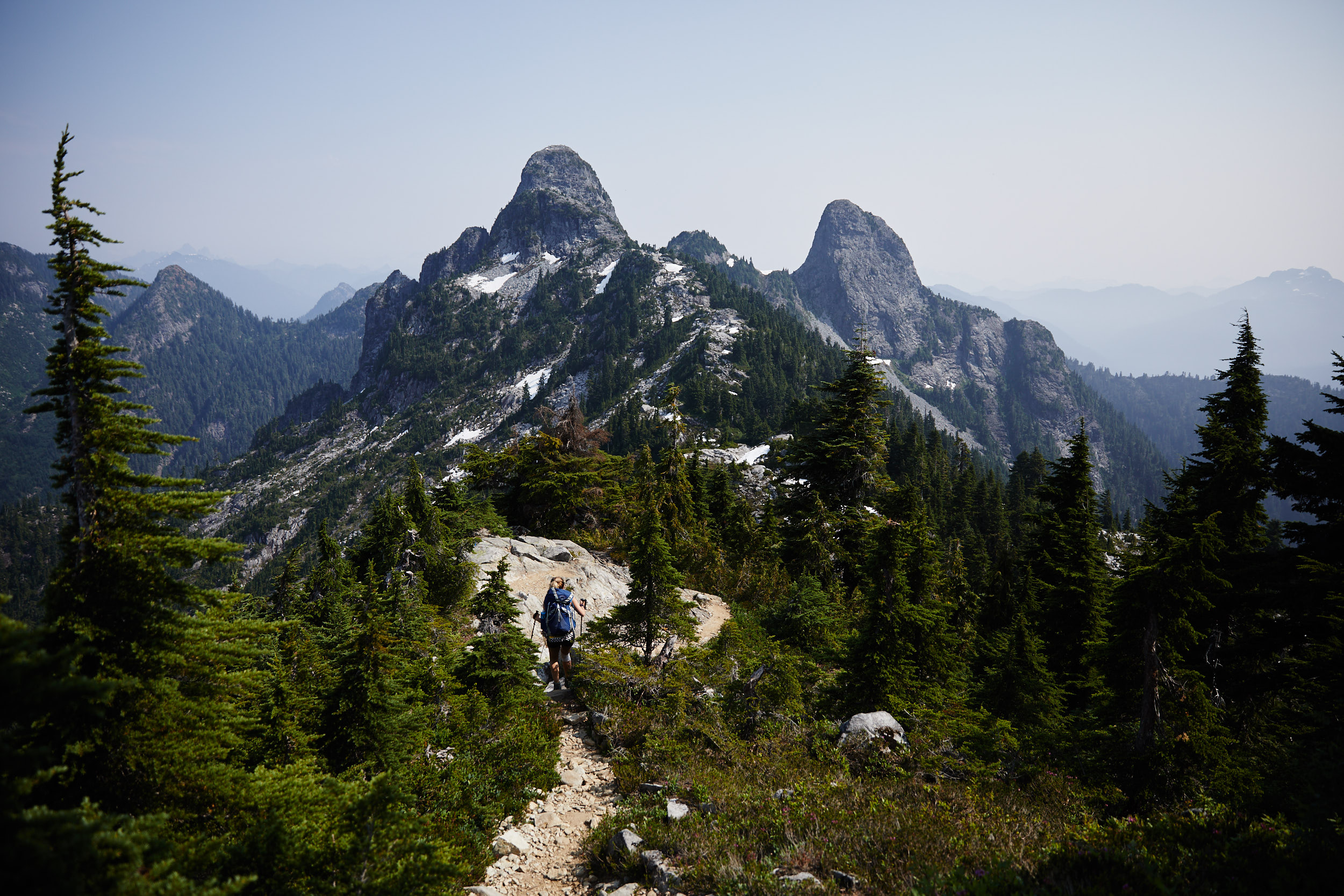
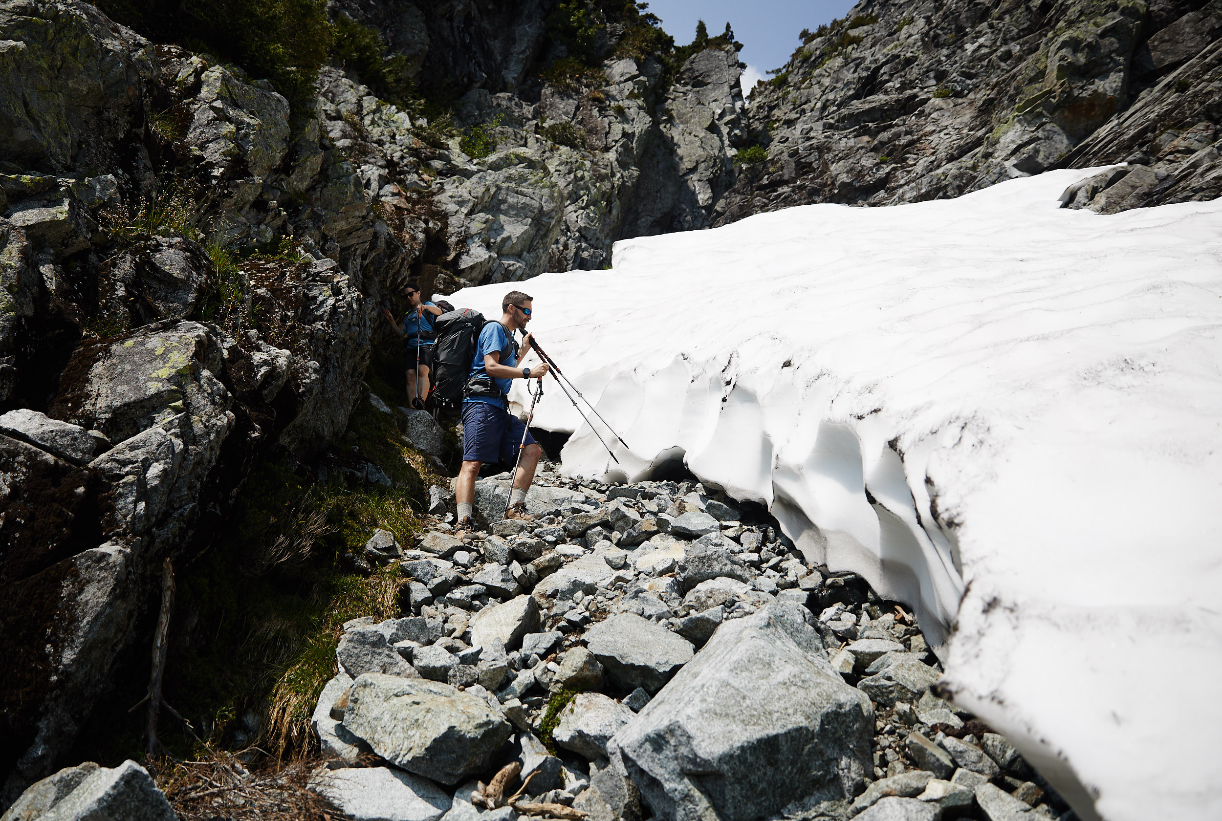
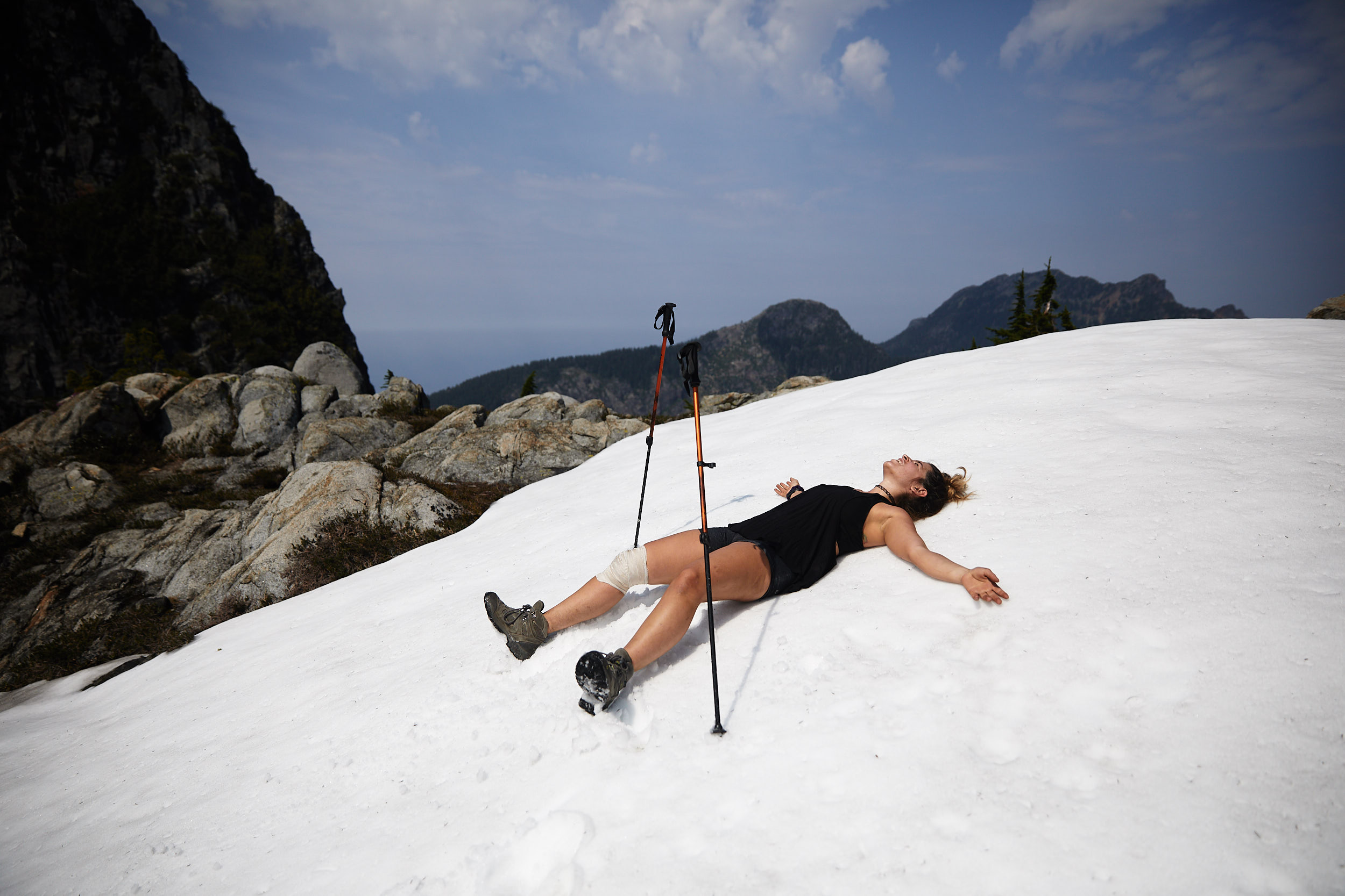
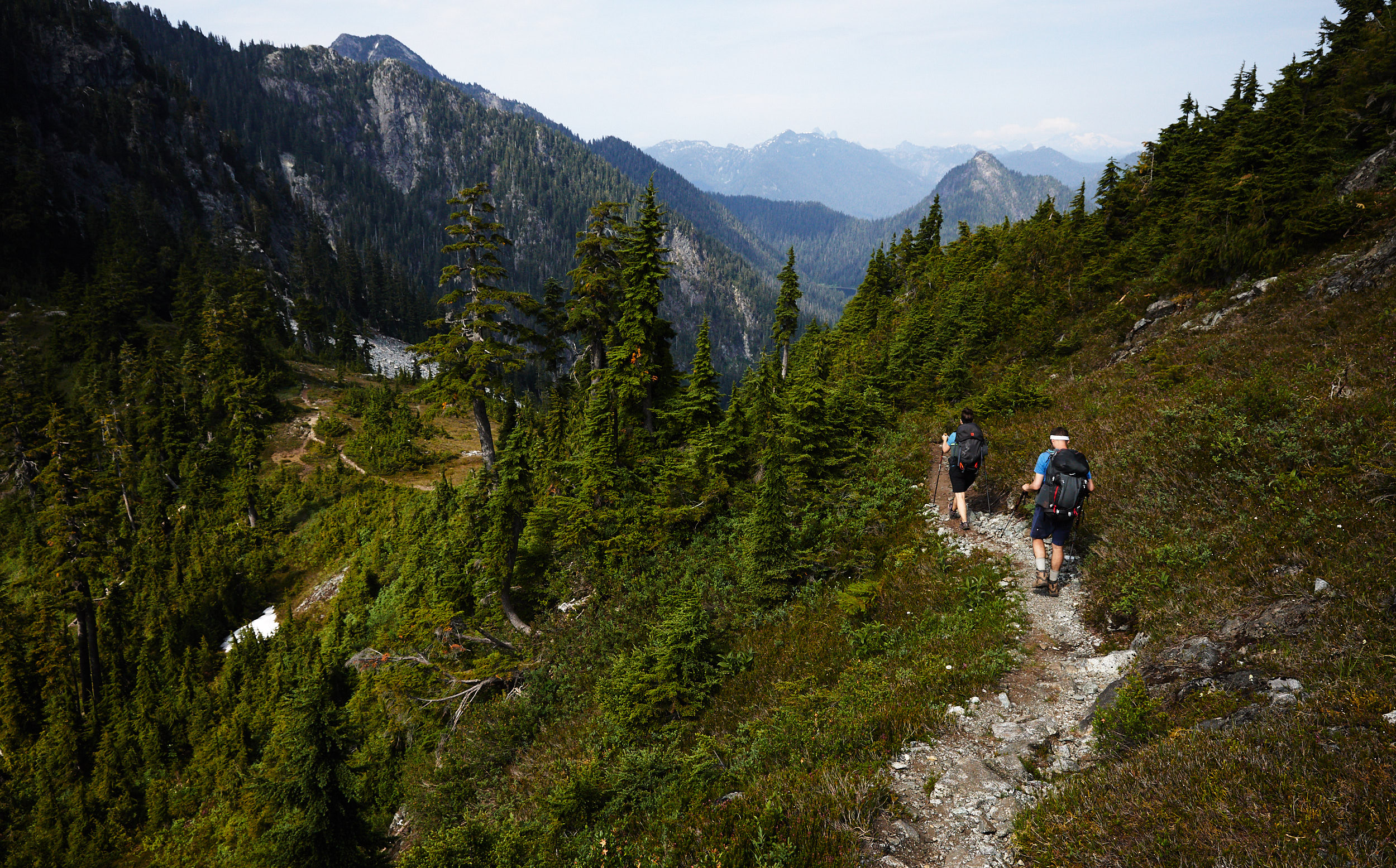
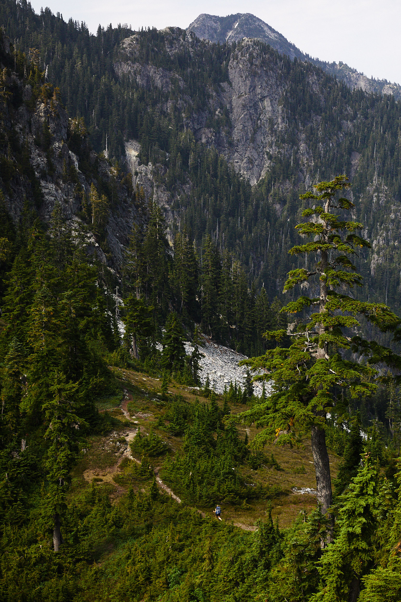
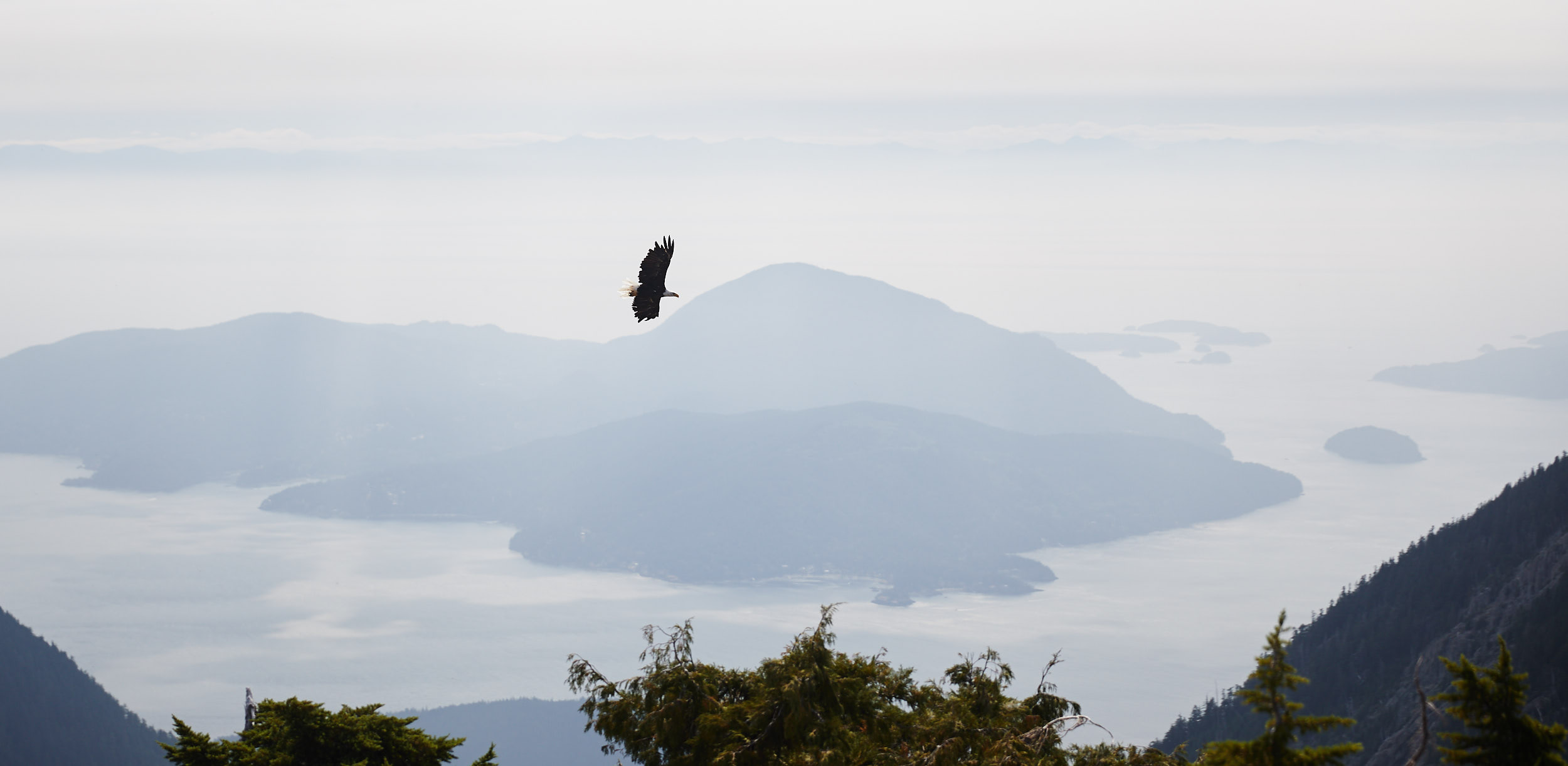
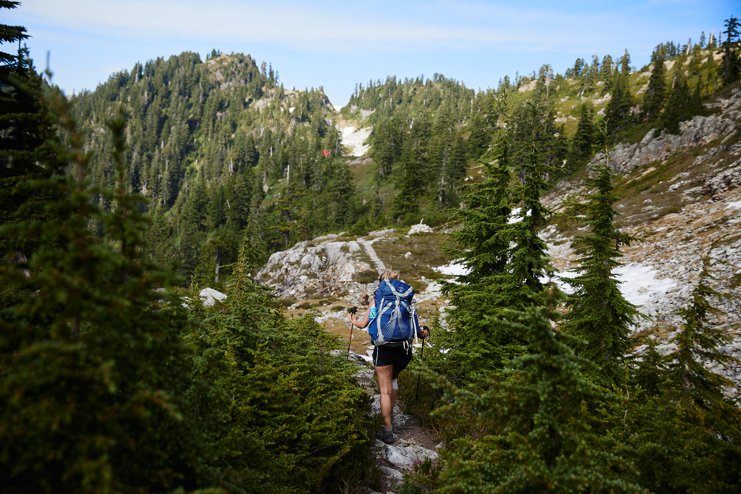
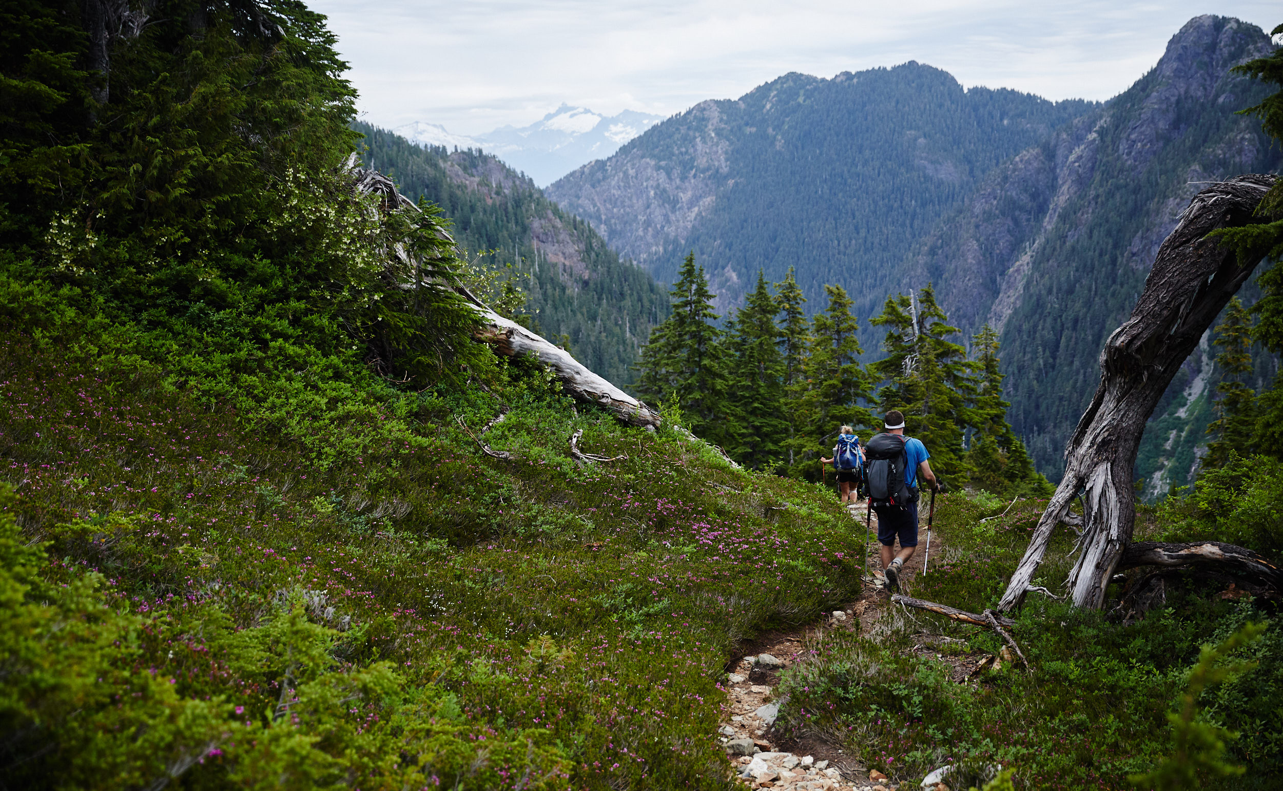
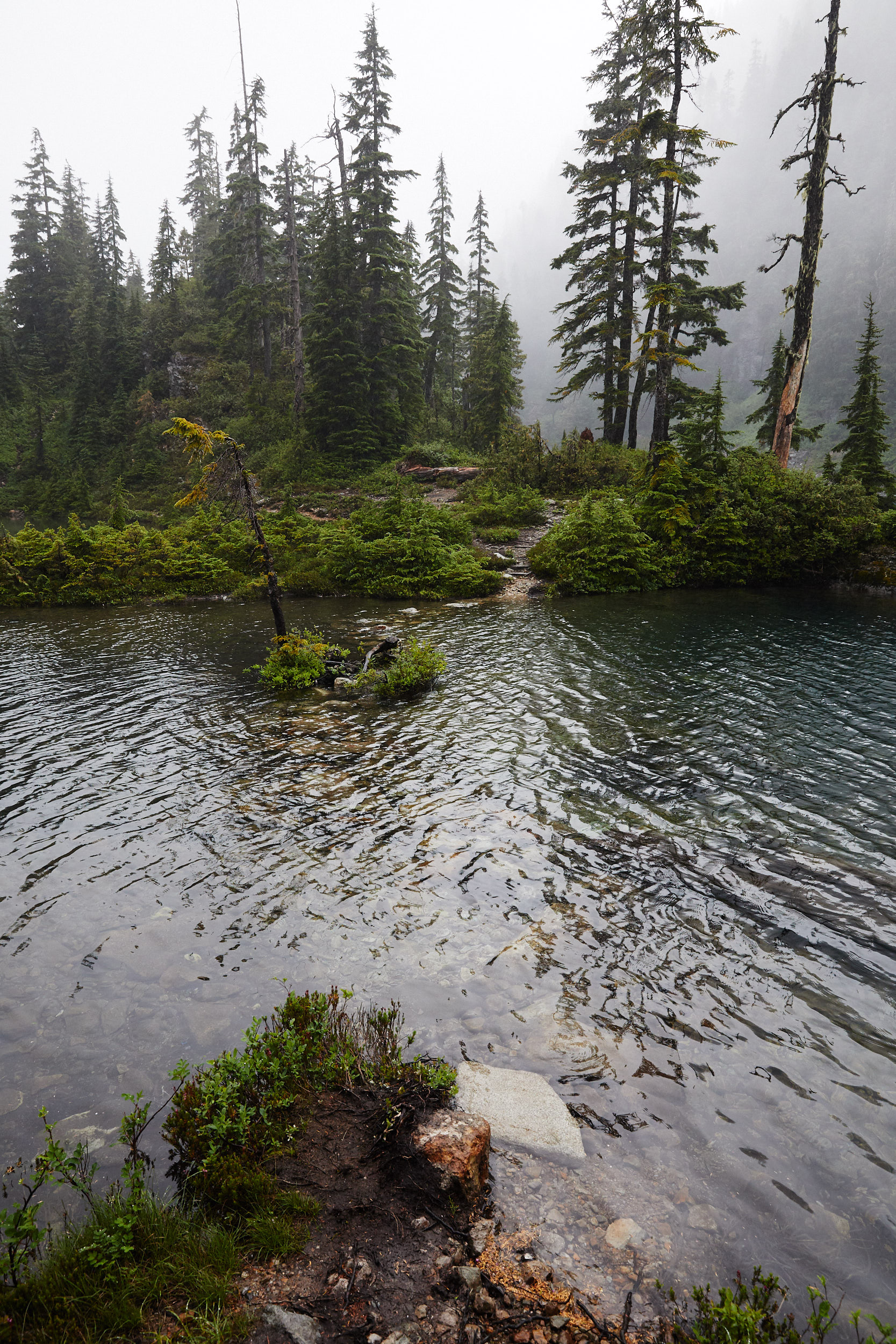
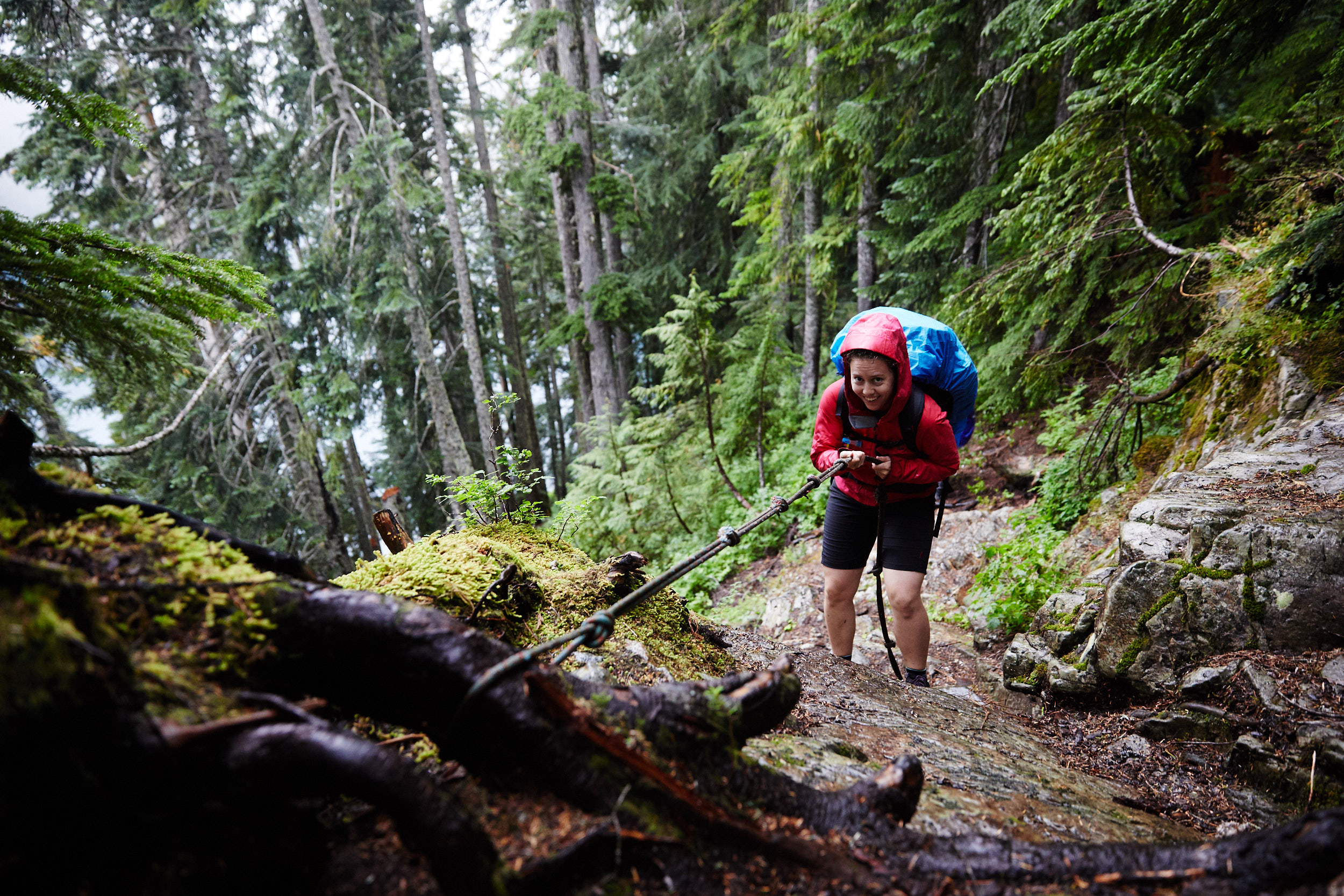
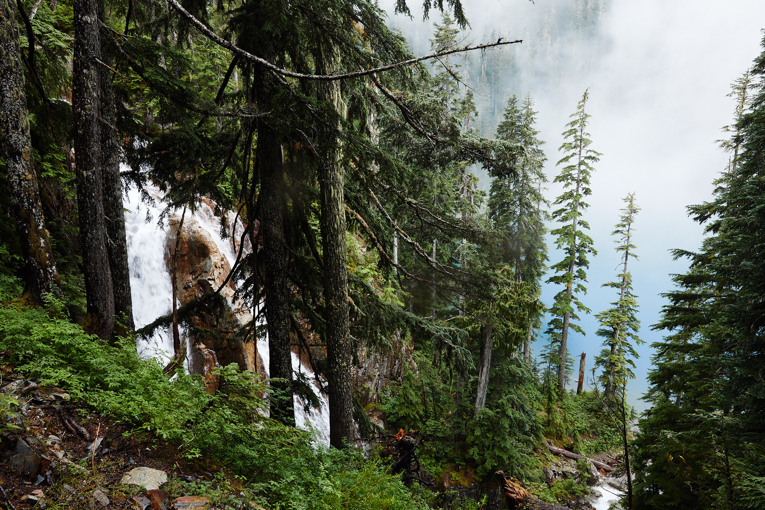
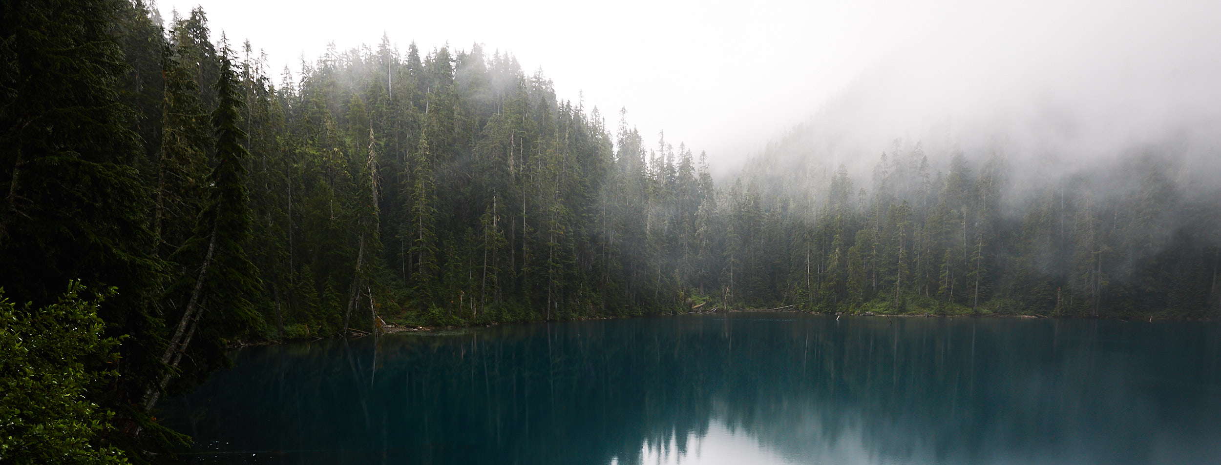
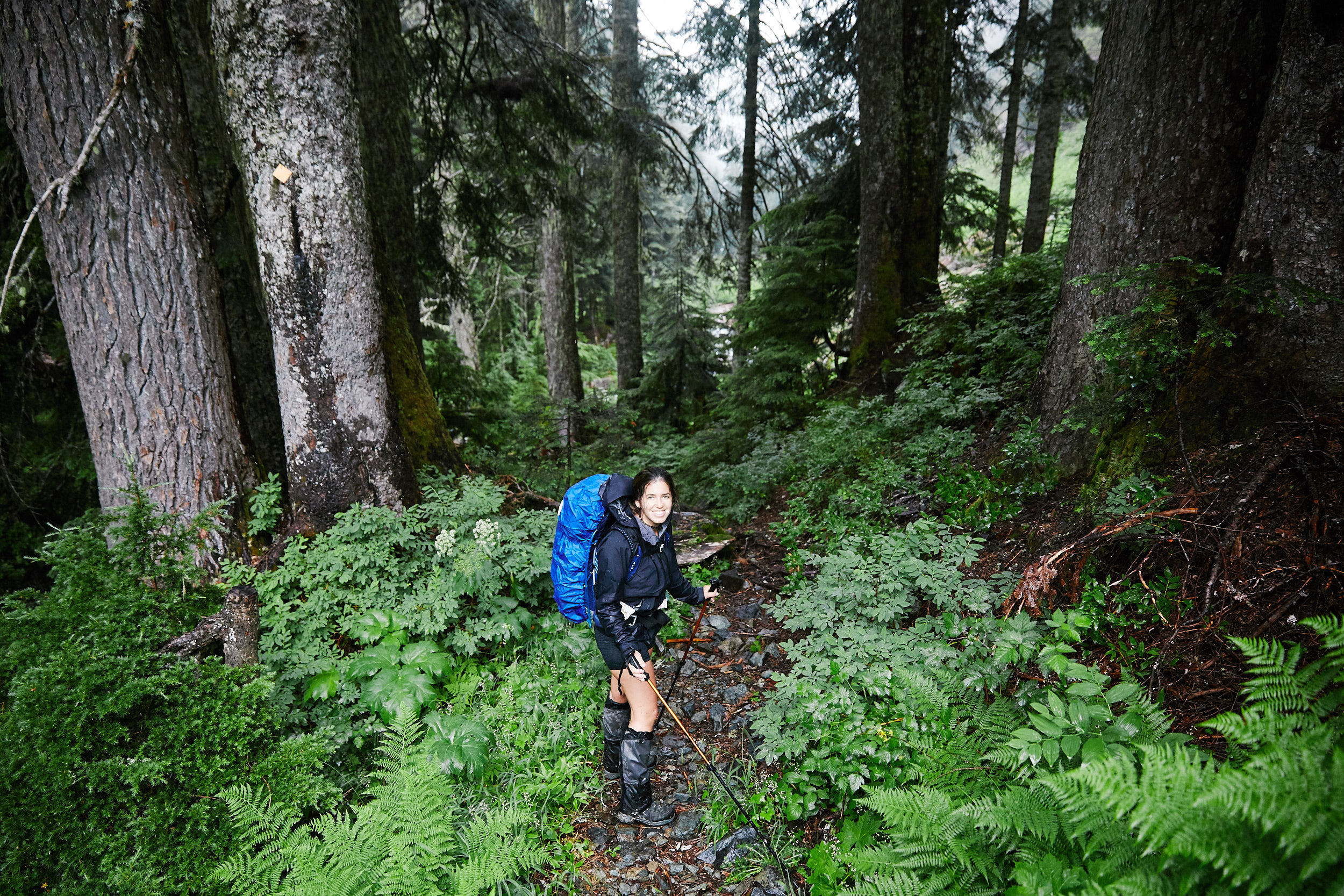
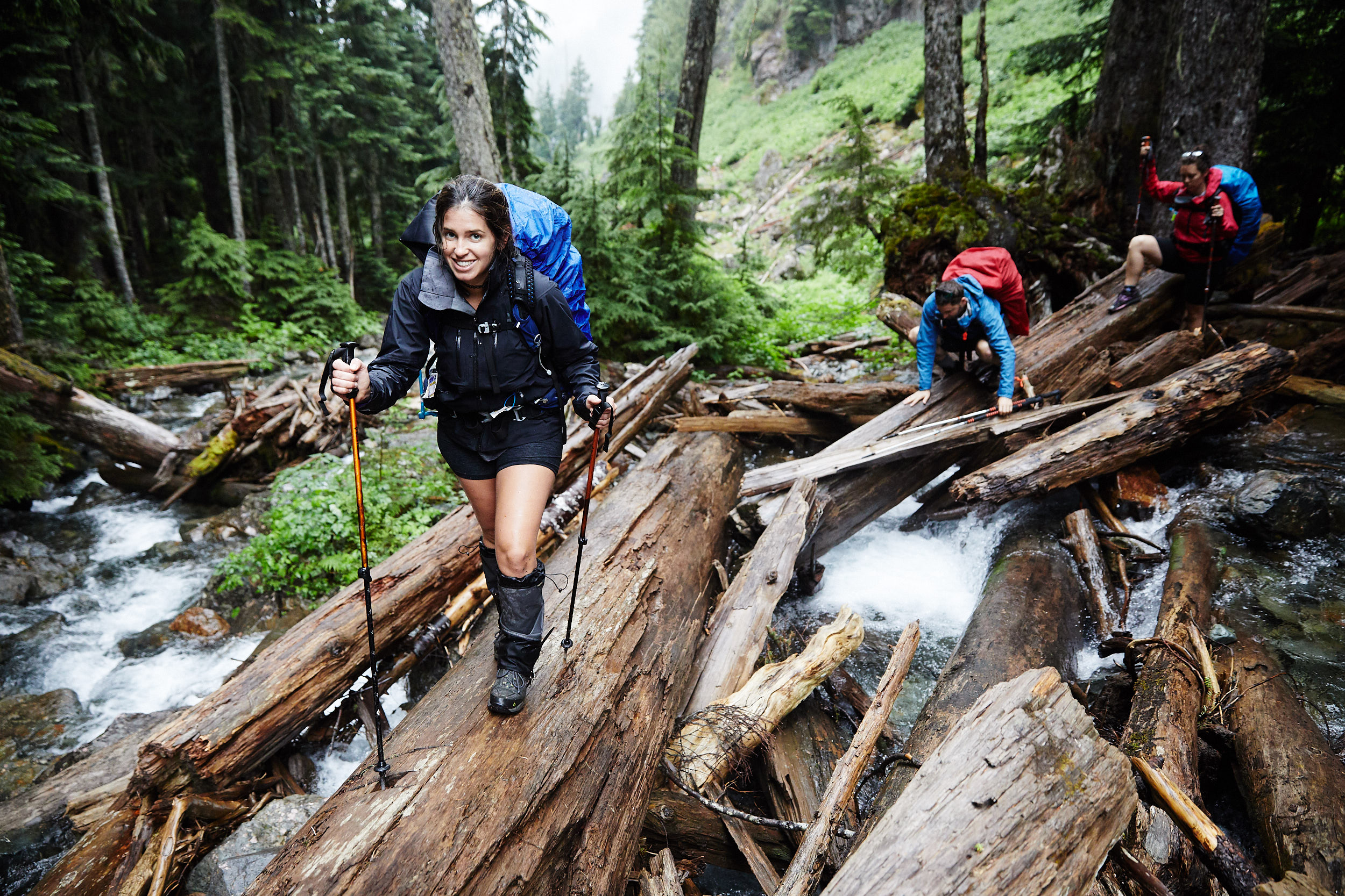
Hike Details
Location: Vancouver, BC, Canada
Hike Quality (1-5): 5
Hike Difficulty (1-5): 5
One Way Distance: 29 km
Max Elevation: 1542 m
Elevation Gain: 1830 m
Camera Details
Camera: Canon 5D Mk IV
Lens 1: Canon EF 24-70mm f/2.8L II USM
Lens 2: Sigma 14mm f/1.8 DG HSM Art
Trip Details
Date: August 11, 2017
Start Time: 4:00pm
Total Days: 3 days
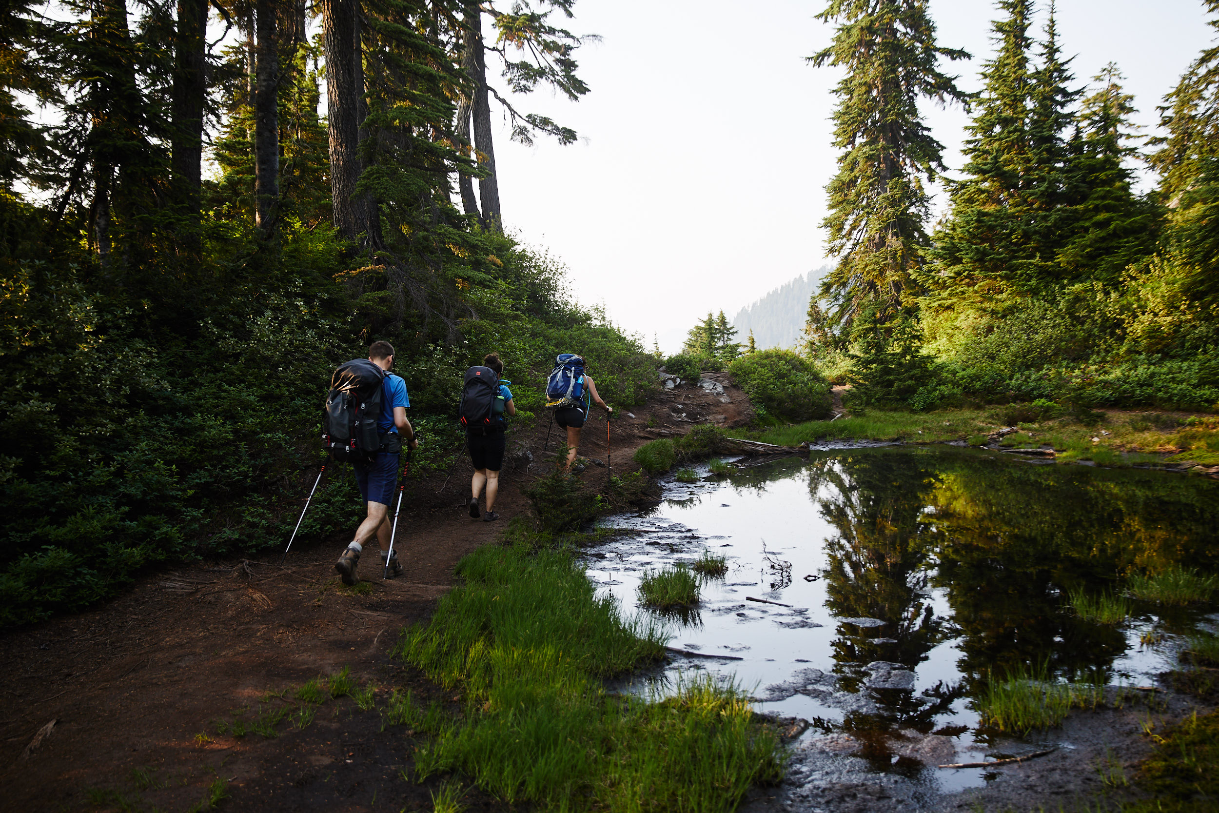
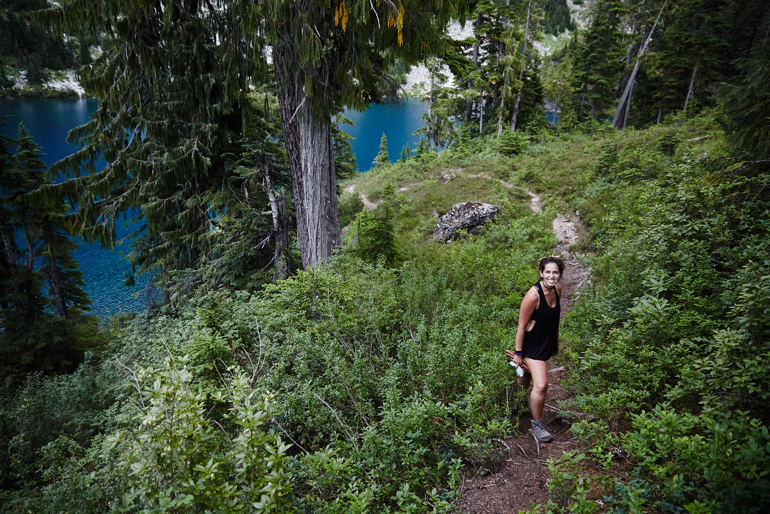
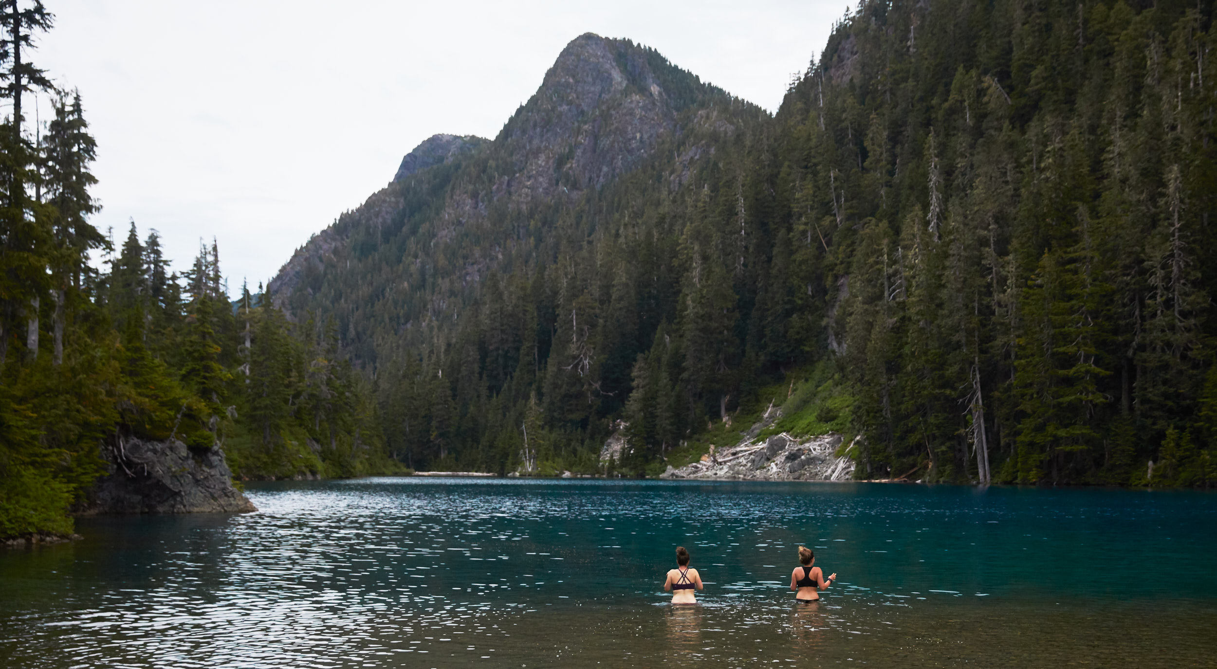
Participants: Patrick Latter, Paige Sorger, Mike Bickford, Fallon
With the incredible amount of smoke still in the air as a result of the BC forest fires, this sign in the trail head parking lot was funny.
So far so good, not too many bugs. The smoke from the wildfires was still pretty bad but by the time we had gotten to St Mark’s Summit, we appeared to be above most of it.
Spoke to soon… the bugs are back! While maybe not quite as bad as the week before, they were still horrible. I’m not even sure this picture shows just how many there really were.
Fallon’s solution to keeping the bugs out of her ears.
You can see here just how much smoke was still hanging around at the lower elevations.
As we approached the summit of Mount Unnecessary, we had a great view of The Lions in the distance.
It started to get dark so we decided to make camp at the north end of the summit where we found a couple of flat spots clear of rocks.
The orange glow here is from the light pollution given off from the City of Vancouver due to our close proximity.
The next morning the sunrise was especially beautiful as a result of all the smoke.
There are a few areas of the trail that have lengths of rope that you can use to aid downclimbing the more exposed areas.
Once at the base of lions we encountered quite a bit of snow. We did not have crampons or ice axes with us so went down and up around the snow to avoid it.
With all the elevation gain and extreme heat, the snow was amazingly refreshing.
So thankful to see the Shelter that marks Magnesia Meadows. This is the first true water source that isn’t patches of snow that you have to melt.
View from inside the top floor of the hut.
We continued on from Magnesia Meadows towards Brunswick Lake, which was another 4.5km.
As soon as we got to the lake, we threw our backpacks off and ran down for a swim in the ice cold waters.
The next morning we headed out to hike down the final 10km of the trail. Right away we hit our first obstacle. We ended up having take our shoes and socks off to cross.
